Over the years, BRWC/FOB has worked in concert with many different organizations to develop various access locations to get you on the river beginning at the Rhode Island/Massachusetts state line to Narragansett Bay. These were initially developed to serve local river rescue teams associated with fire departments in Woonsocket, Lincoln and Cumberland. As a result of our creating these access locations, the public was given more access to the river. We encourage everyone to make use of them. [Google map links have been added to assist you in finding these locations].
Access locations on the River are listed below:
Cold Spring Park, Woonsocket RI
BRWC/FOB worked with the National Parks Service and the Woonsocket Fire Department to develop this access point. Drive into the park to access the ramp. From here you can paddle south or north for approximately 1 mile.


Davison Street, Woonsocket RI
BRWC/FOB worked alongside the National Parks Service and the Woonsocket Fire Department to develop this access site. From here paddle north 0.5 miles or south approximately 3 miles.


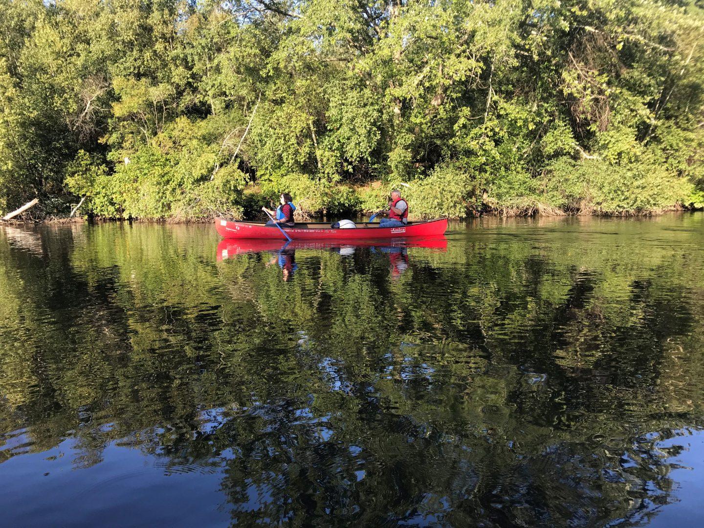
Manville Landing, Manville Hill Road, Cumberland RI
We worked with River View Quarry to not only create this access point but to also establish the park. The quarry supplied the materials and equipment needed. BRWC/FOB realized the potential of this historic site and worked with several government agencies to help resurrect the buried historical structures and revitalize it. The park is now a beautiful recreation point. From this park, you can paddle north for about 3 miles.


BRWC/FOB Environmental Center, 100 New River Road, Lincoln RI
BRWC/FOB volunteers created the roadway and access point to the river by removing approximately 100 tons of dumped asphalt, which we were able to recycle, as well as the removal of about 50 tons of solid waste. To access the river, follow the fence next to the Environmental Center. From here you can paddle south for about 1 mile.


Albion Dam (on the bike trail), Albion RI
Above the dam
This area was improved by BRWC/FOB along with the Albion Fire Department to be used primarily as a takeout above the Ashton Dam. If you do put in here, you can paddle north for approximately 1 mile.


Below the dam


Working with the National Parks Service, BRWC/FOB put in the stairs allowing access to the river. From here you can paddle south for about 2 miles to Ashton.
Captain Wilbur Kelly House, Blackstone River State Park, Lincoln RI
BRWC/FOB worked with the National Parks Service, the Department of Environmental Management and the local River Rescue team to install the stairs that lead down to the river. From here you can paddle south to take out at the buoys prior to Pratt Dam.


Pratt Dam, (on the bike trail) Cumberland/Lincoln, RI


This section is primarily used as a ‘take out’ to portage around the dam.
Every year, weather and water dependent, the BRWC/FOB takes on the task of cleaning the Pratt Dam ‘tubes’ of the debris that accumulates. In addition, the Pratt Dam buoy line was installed by BRWC/FOB after a local boy, who was canoeing with his father, drowned at the dam. The buoys along with a sign warns paddlers of the dangers ahead.
The put in for this section of the river is approximately 200 yards on river left below the Pratt Dam on the Cumberland side of the river. This river access point was established with the help of the RI Department of Transportation with guidance from BRWC/FOB. From here, you can paddle south for approximately 2 miles
John Street (on the bike trail), Cumberland RI
The stairway that allows access to the river was funded by the National Parks Service. From here you can paddle north or south.


Be sure to stay updated by checking our Events page, like us on Facebook and follow us on Twitter and Instagram for news about our work, inspiring photos and opportunities to get involved.